


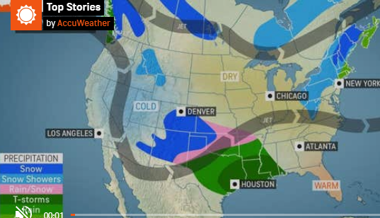
The second storm of the weekend bearing down on the Northern Seacoast could prove the more dangerous of the two, with four to eight inches of snow and 35 mph wind gusts forecast.
All of Strafford County and inland York County in Maine are expected to see the storm develop this evening and linger well into Monday night.
Tonight's snow is forecast to start around 7 p.m., slack off during the early morning hours of Friday and ramp back up by midmorning. It is expected to linger throughout the day till around 6 p.m.
Temps during the storm will stay in the low- to mid-30s.
New Hampshire's emergency chief is urging residents to keep up with the weather and get prepared for the possibility of losing power.
"You can take simple preparedness steps to keep you and your family safe," said Homeland Security Emergency Department Director Robert Buxton. "Stay informed by listening to local weather reports. If you must travel, make sure your vehicle's emergency kit is well stocked and includes a flashlight, food, water and a blanket."
This snow accumulations from Thursday and Friday piled alongside tonight's storm could create large buildups around building vents.
"Now that we're getting some snow, here are a few tips when it comes to fire and carbon monoxide safety," said State Fire Marshal Sean Toomey. "If you do get a lot of snow, be sure to shovel it away from any vents, and if you lose power, never run a generator inside or right next to a home. You want to make sure a generator is outside, and at least 10 feet away from windows, doors, and vents."
There is also a potential for power outages from the strong winds with this storm.
"When there is a loss of electrical power, consumers are put at risk of carbon monoxide (CO) poisoning from portable generators, fire from candles, and electrical shock from downed power lines," Toomey said. "Carbon monoxide is an invisible killer and can build up quickly. Unfortunately, it is odorless and colorless, and can kill you and your family in minutes."
Director Buxton and State Fire Marshal Toomey provide these additional winter weather reminders:
· Stay informed by signing up for NH Alerts.
· Visit ReadyNH.gov to learn more preparedness tips to help you and your family stay safe.
· Monitor National Weather Service radio or broadcast weather reports to keep track of changing conditions.
· Find the latest road conditions at newengland511.org.
· Consider working or schooling from home so that crews can safely clear the roads.
· Slow down and move over for emergency vehicles and never crowd the plow.
· Clear all snow and ice off your car, including your roof, around lights, and license plates before traveling.
· Bridges, overpasses, and exposed road areas are the most prone to slippery conditions.
· Plan two ways out of your home in case of emergency.
· Clear the driveway and front walk from ice and snow. This will provide easy access to your home.
· Only use a generator that has been wired to the building electrical service by a professional electrician.
· Do not run a generator in the garage, even if the door is open, because carbon monoxide can still build up to very dangerous levels, very quickly.
· Make sure your house number can be seen from the street. If you need help, emergency responders will be able to find you.
· Stay away from downed wires and call 9-1-1.
· Be ready if the heat stops working. Use extra layers of clothes and blankets to stay warm. If you use an emergency heat source, keep anything that can burn at least 3 feet away.
· Turn portable heaters off when you leave the room. Also turn them off when you go to bed.
· Use flashlights, rather than candles, for emergency lighting.
· Check on neighbors and others who may need help.
Learn more about emergency preparedness at ReadyNH.gov.
Accuweather material was used in this report.