


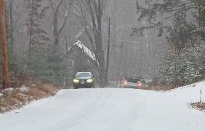
A light snow falling as of this posting will turn to a much heavier accumulating snow by late this morning, according to forecasters.
The storm, the first major storm of the season, is expected to deliver three to six inches before it ends early Wednesday.
New Hampshire and Maine power companies are ramping up their preparedness for the storm, with wind gusts expected near 20 mph later tonight. So far, the snow that is falling is a light, fluffy variety.
Temps will hover around the freezing mark today, but drop dramatically with lows on Thursday and Friday in the single digits.
Thursday will also see some more snow, but little accumulation is expected.
Looking at the weekend another potential storm is expected that could bring snow, ice or rain depending on the temperatures.
Those who have not completed winterizing their homes and water lines or had their furnaces checked and heating oil or propane ordered may want to do so as soon as possible.
Meanwhile, state safety official in Concord are urging residents and visitors to use caution, especially if you must travel today.
"Residents and visitors should stay informed of changing weather conditions before and during the storm," said HSEM Director Robert Buxton. "Avoid traveling if you can. If you must travel, make sure you have updated your vehicle's emergency kit."
Director Buxton provides these additional winter weather reminders:
• Visit ReadyNH.gov to learn more preparedness tips to help you and your family stay safe.
• Stay informed by signing up for NH Alerts and monitoring National Weather Service radio or broadcast weather reports to keep track of changing conditions.
• Slow down and move over for emergency vehicles.
• Never crowd the plow.
• Clear all snow and ice off your car before traveling. It's the law.
• Find the latest road conditions at newengland511.org.